My Finds
An iPhone and Android app for tracking detecting sessions, recording finds, and overlaying historic UK maps, LiDAR, Roman roads and more — privately, in the field.
Roman roads are in the Android app now, and arrive on iPhone with version 1.8.0, due shortly.
Designed by a detectorist, for detectorists.

 Start your session
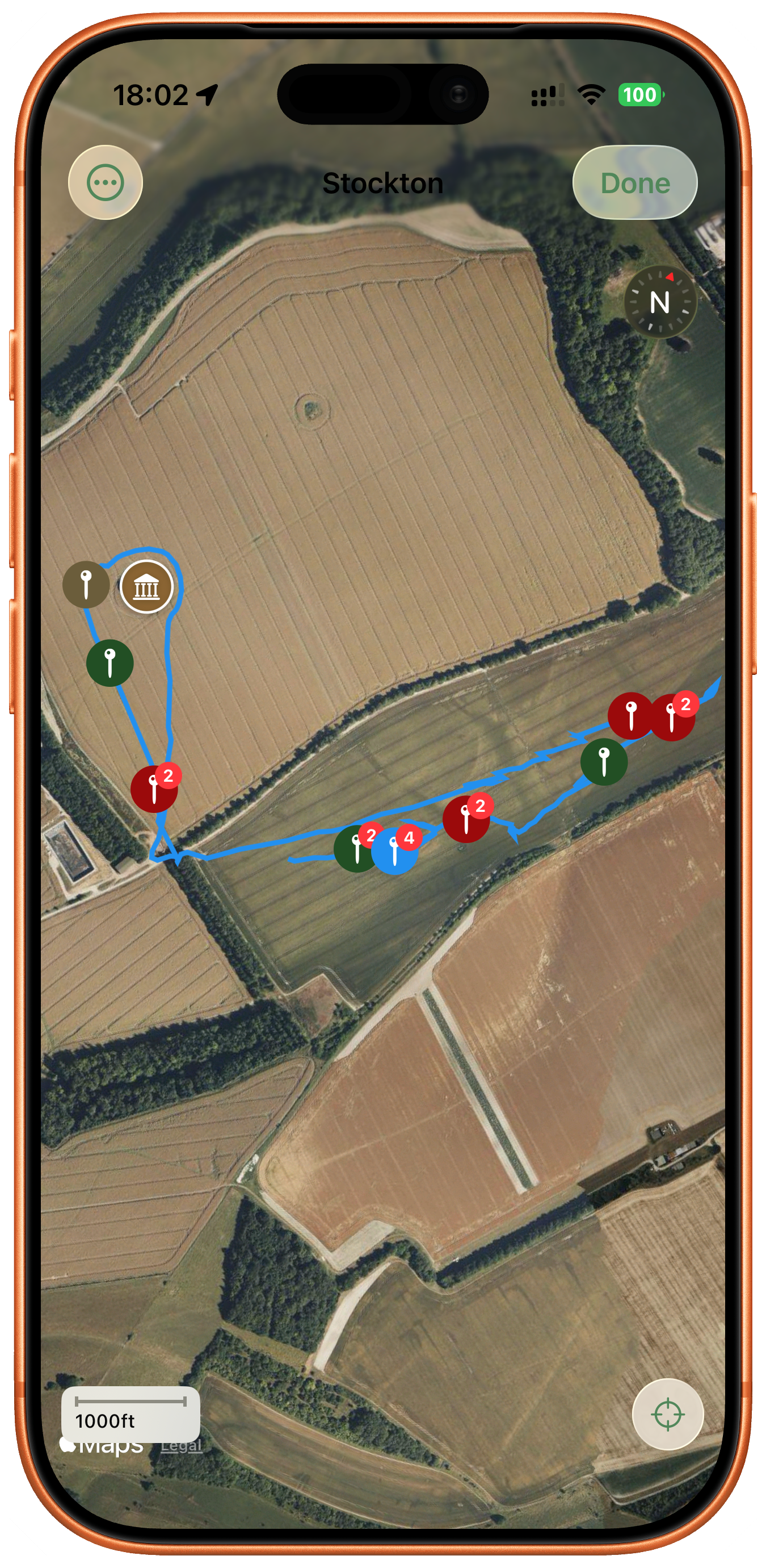
 Track your path
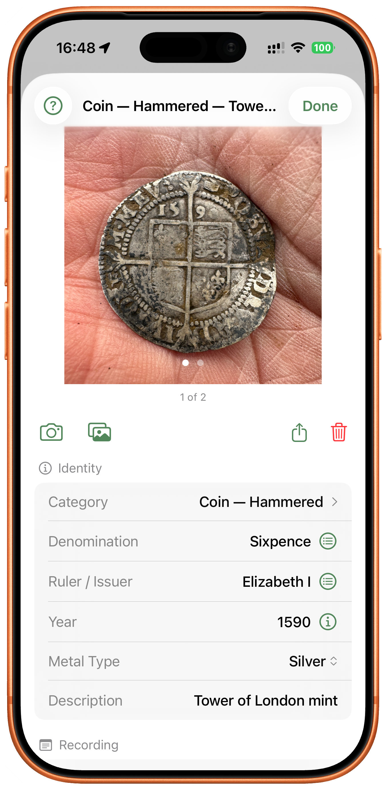
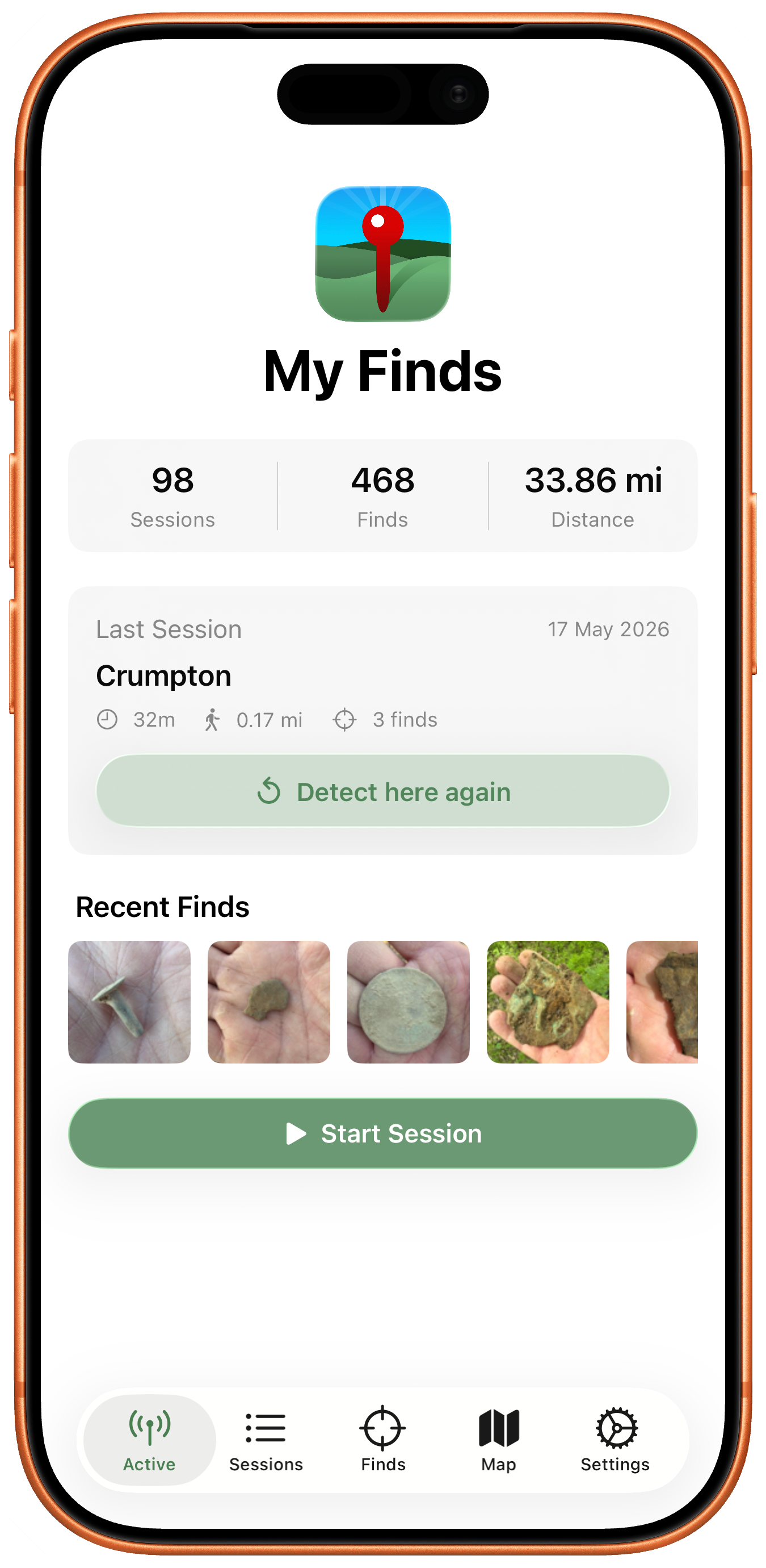 Record your finds
Two-minute walkthroughs
Short videos, one job each. New ones are added to the playlist as they're made — it also lives on the My Finds YouTube channel.
What you can do with My Finds
- Track your detecting path in real time, with detector sweep width
- Overlay historic UK maps (1888–1913 and 1937–1961)
- Reveal hidden earthworks with a LiDAR terrain overlay across England — hillshade and Sky-View Factor shading pick out ridge and furrow, platforms and ditches
- View footpaths and scheduled historic sites without leaving the app
- Pin every find to a GPS location with photos, depth, and metadata
- Capture UK grid references for Portable Antiquities Scheme submissions
- Keep track of every permission — landowners and clubs, with contact details, dates and conditions — and draw the fields you're allowed to search, with a gentle warning as you near the edge
- See protected no-dig ground on the map — Scheduled Monuments and SSSI, SAC, SPA and Ramsar designations — with a warning before you start a session on protected land
- Share a tidy PDF report with the landowner — a map, your finds and photos — by Messages, WhatsApp, email or AirDrop
- Turn your finds into charts, and build your own filtered queries by date, metal, period, site and more
- Record the land type for each session — ploughed, pasture, stubble, woodland, beach or parkland — and break your finds down by ground in Insights
- Reconstruct pre-app sessions by importing GPS-tagged photos from your camera roll
- Choose from a deep category system — coins, buttons, buckles, brooches, military, household, horse tack, prehistoric, and more
- Back up every find, photo and session to a single file — restore it to a new iPhone, or import your records from FindSpot, GoTerrain and Digly
- Stay private — no account, no servers, all data stays on your device
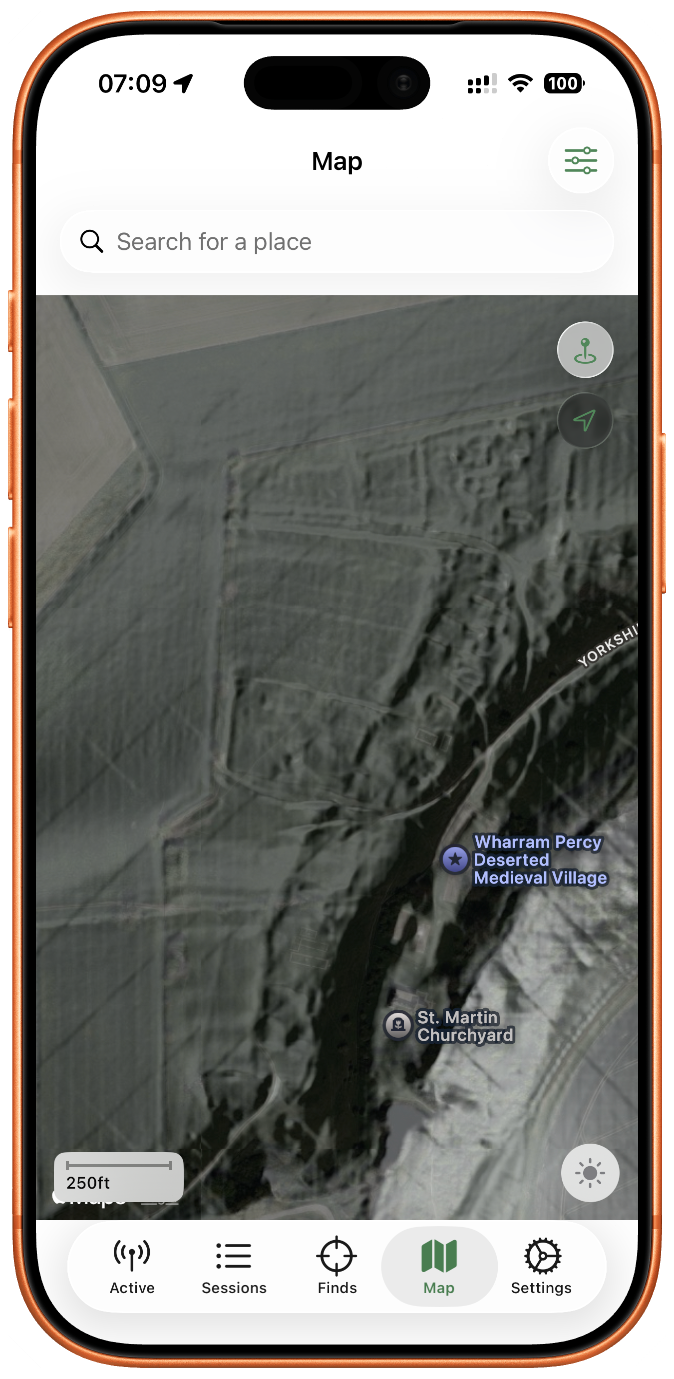 Read the ground
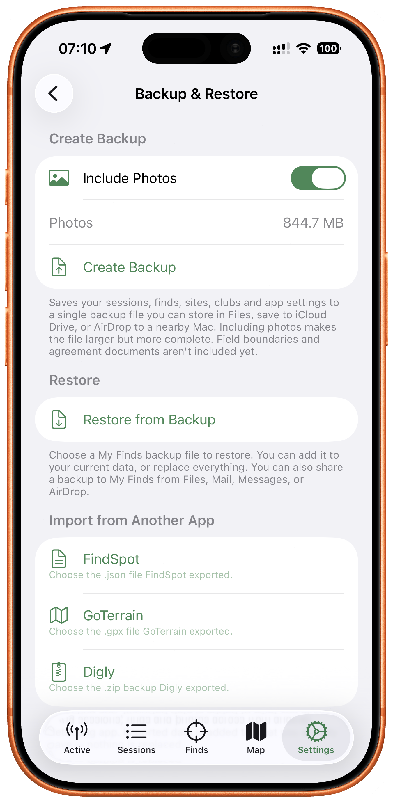 Back up and bring your finds
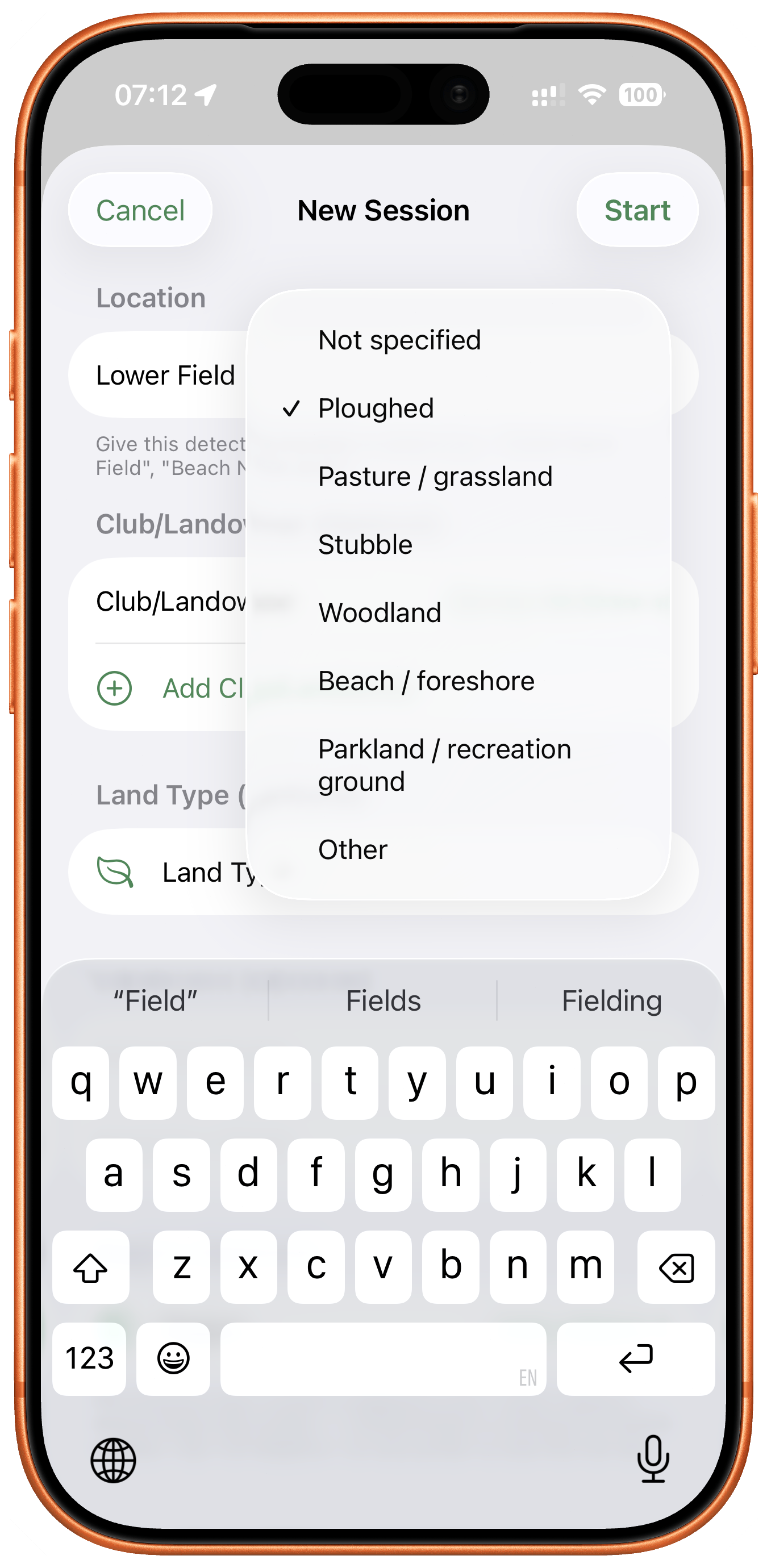 Log the ground you searched
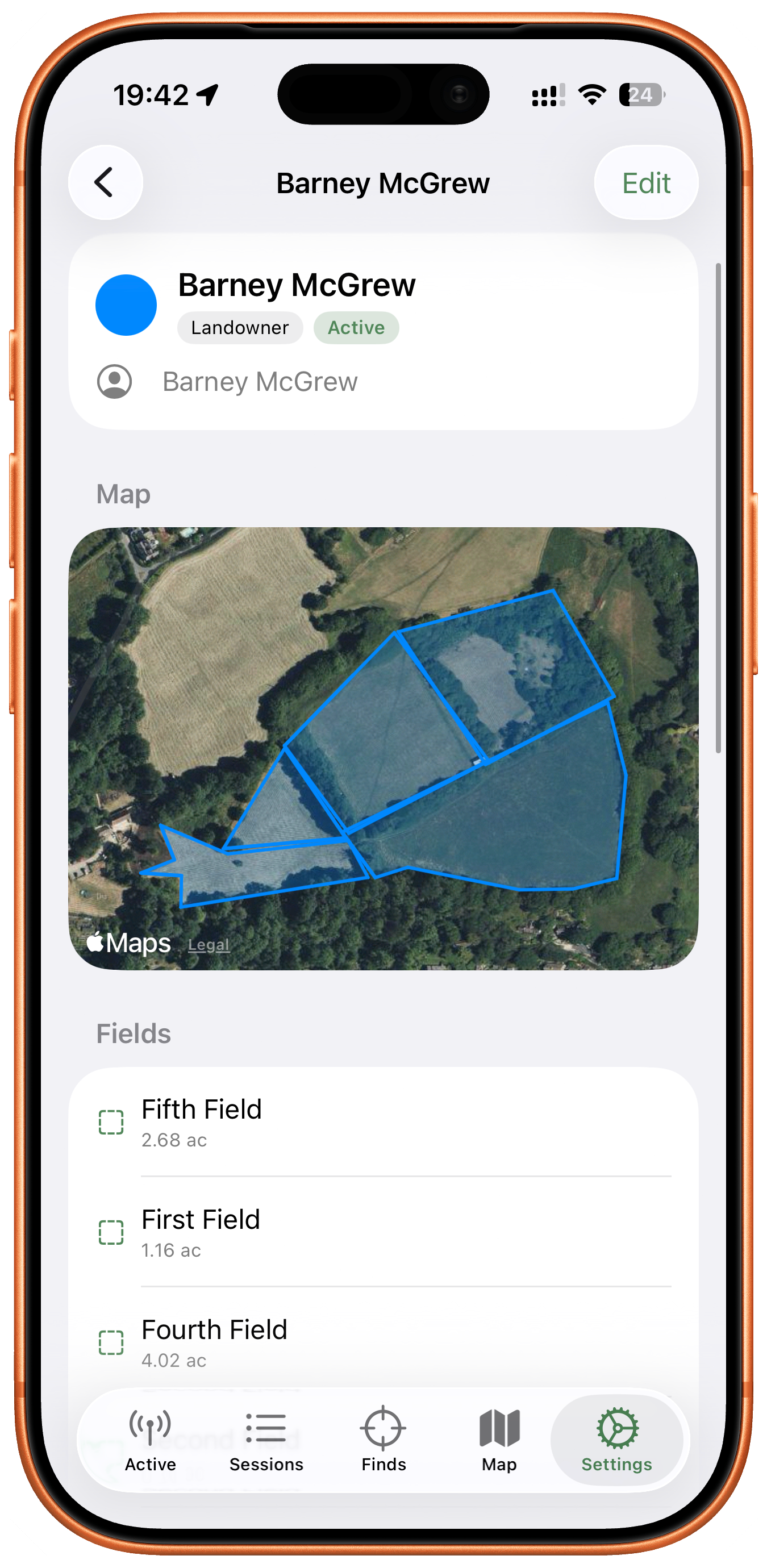 Map your permissions
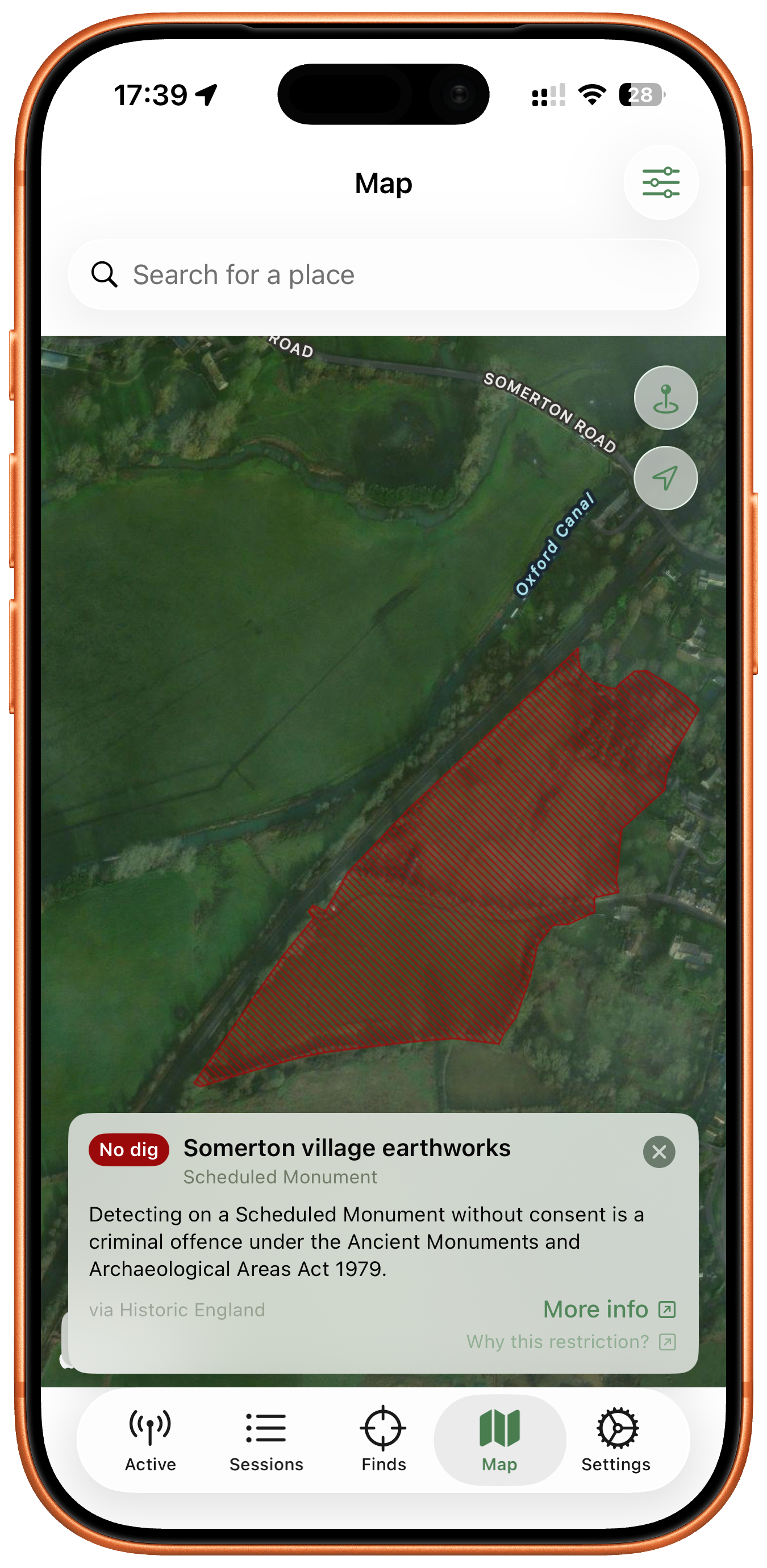 Avoid protected ground
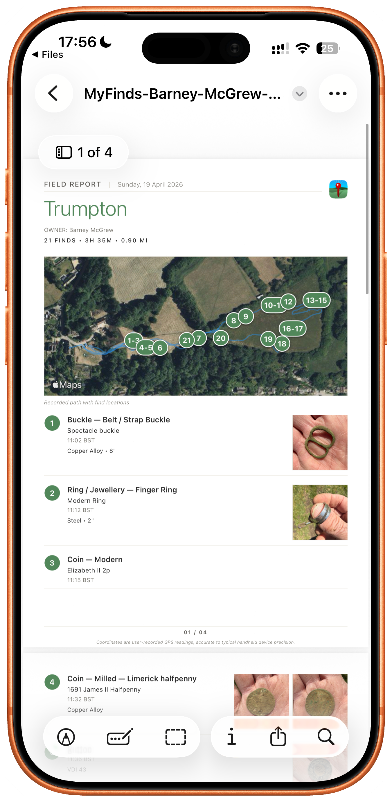 Report to the landowner
What Detectorists Are Saying
“My Finds is now part of my dig routine, firing it up directly after the detector. It's an incredibly easy-to-use yet powerful tool in the field.” — Alan Sargeant, Oxford
“The ability to overlay historic maps in the field is an excellent tool.” — Dan Fox, Bristol
“The features you are including are quite simply exceptional and something I never expected in such an app.” — Eric Walker
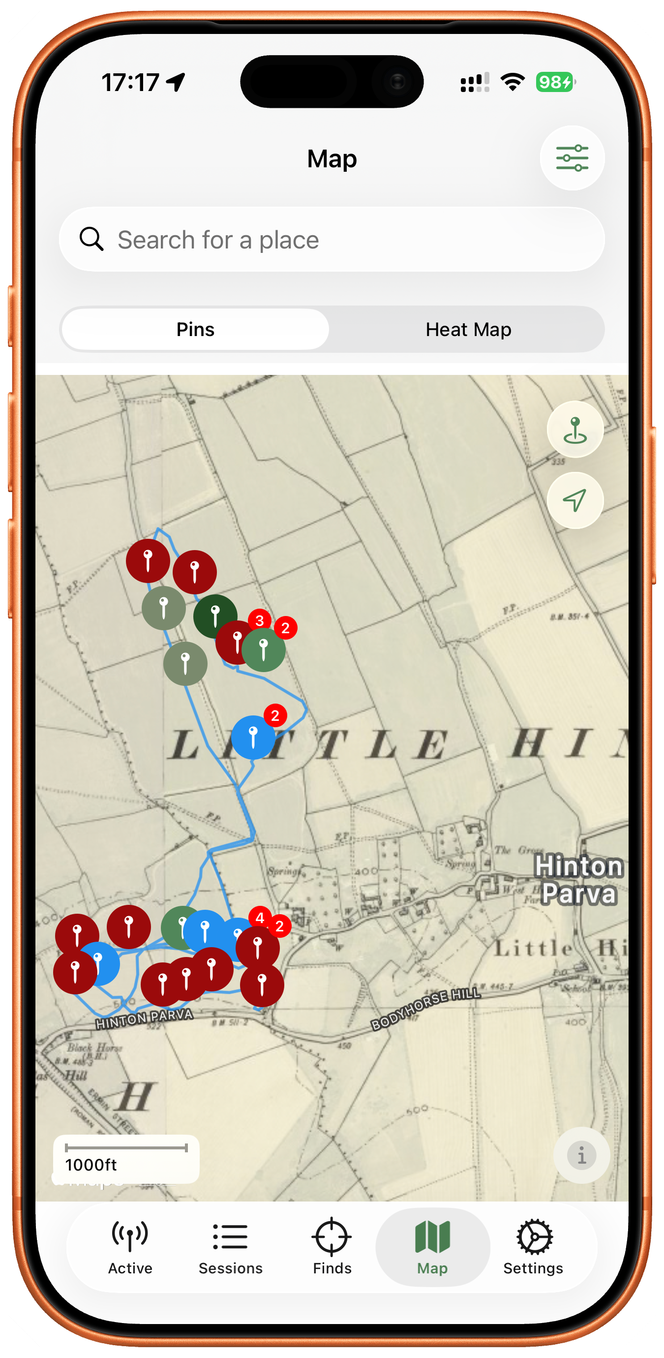 Overlay historic maps
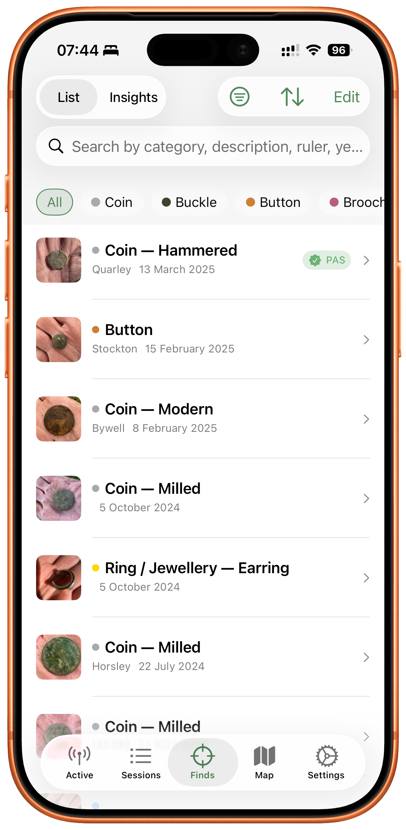 Categorise your finds
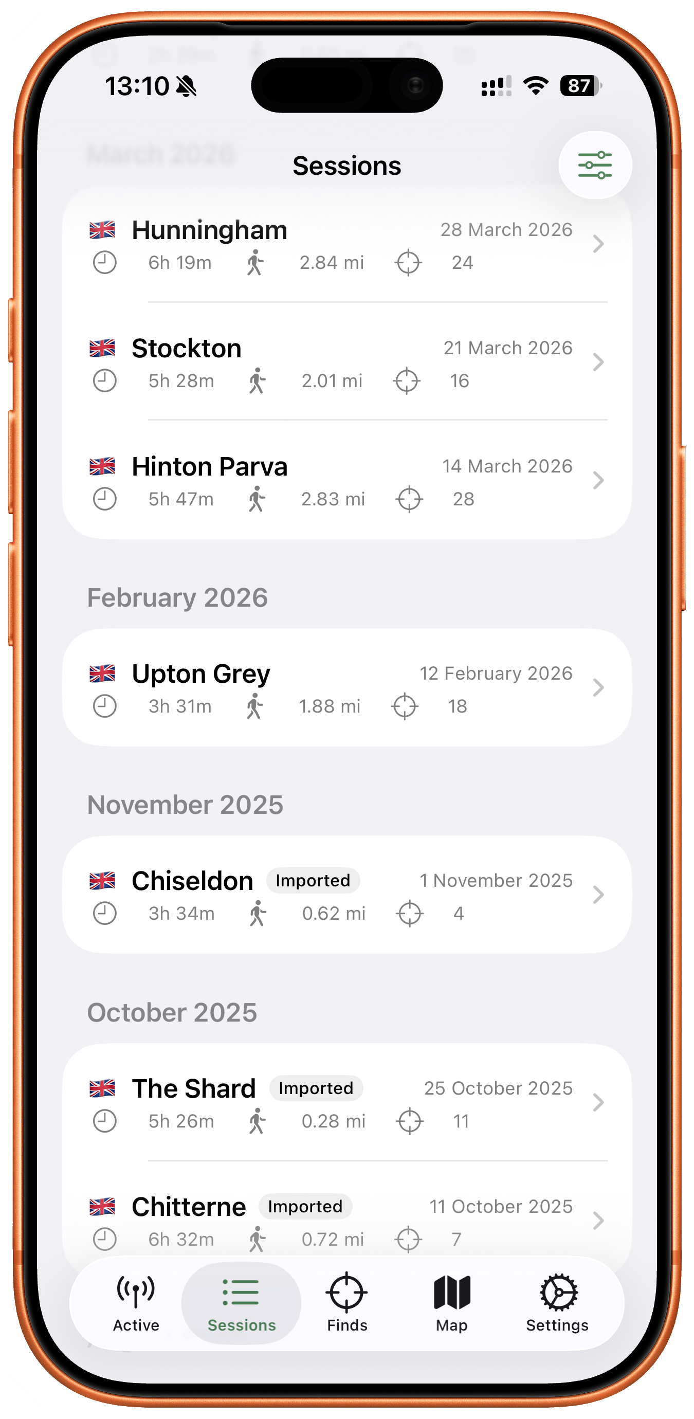 Review your sessions
Pricing and availability
My Finds is free to download. The free version supports unlimited sessions and up to 20 finds. A Pro subscription unlocks unlimited finds, keeps the historic-map overlay, and adds Custom Queries in Insights — £1.99 per month or £12.99 per year, with a 30-day free trial on the annual plan. All detecting data stays accessible whether you subscribe or not.
About the developer
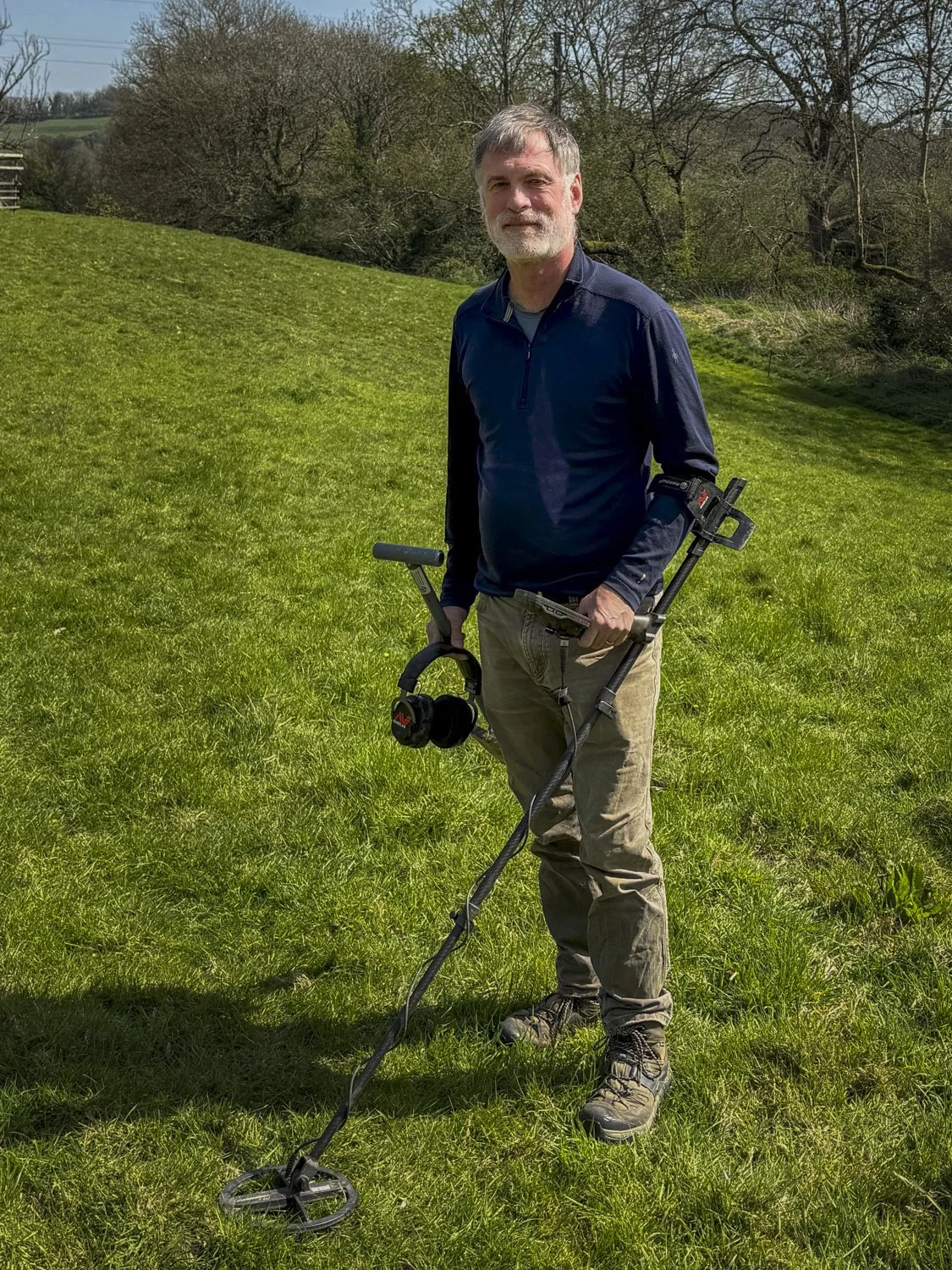
Hugo Heriz-Smith has been metal detecting in the UK since 2019. He built My Finds because no existing tool fit how he actually worked in the field. For stories about his own finds — Roman brooches, hammered coins, a Gloucestershire police helmet plate — see Hugo Digs.
Press inquiries
Contact Hugo Heriz-Smith.